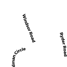
64 RYDER RD
Owner Information
HANNON KEVIN G & CAREY DAVID
64 RYDER RD
WEYMOUTH, MA 02190


Property Details
64 RYDER RD is classified as a Single Family Residential (Colonial).
The primary structure on this property was built in 1968. There are 1,740ft2 of built area within this property. There is 1,740ft2 of residential/living space within this property. This property is listed as having 8 rooms.
64 RYDER RD is valued at $523,900. The land is valued at $199,400 and the structures are valued at $312,100. There is an additional valuation of $12,400 on this property.
The most recent deed for 64 RYDER RD is recorded at the local registrar in Book 29772, Page 236. 64 RYDER RD was last sold on Tuesday, March 20, 2012 for $0.
Assessment data from fiscal year 2022.
Flood Data
According to the FEMA National Flood Hazard Layer, this property does not appear to be in a flood zone. It may also be in an area not yet reviewed. Nonetheless, confirm this information prior to taking any action.
To view the flood hazards around this property, create a FEMA "Firmette" Map of the area around 64 RYDER RD.
Broadband Internet Providers
| Provider | Type | Bandwidth (mbps) | |
|---|---|---|---|
| Verizon New England Inc. | DSL | 15 | 1 |
| Viasat Inc | Satellite | 100 | 3 |
| VSAT Systems, LLC. | Satellite | 2 | 1 |
| HughesNet | Satellite | 25 | 3 |
| GCI Communication Corp. | Satellite | 0 | 0 |
| T-Mobile | Fixed Wireless | 25 | 3 |
| Comcast | Cable | 1000 | 35 |
Broadband service provider data from December 2020.
Adjacent Properties
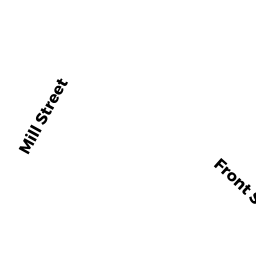
- 903 FRONT ST
Single Family Residential owned by BOWIE ROBERT B & DORIS M - 895 FRONT ST
Single Family Residential owned by LAEWE ROY FEMI & CARRIE - 883 FRONT ST
Single Family Residential owned by GRAMAZIO JOHN & DONNA T - 893 FRONT ST
Single Family Residential owned by OWENS JESSICA S - 54 RYDER RD
Single Family Residential owned by IRMA E EARLE FAMILY TRUST - 74 RYDER RD
Single Family Residential owned by NANCY C AHSLTROM IRREVOCABLE